
Red Ginger Alpinia purpurata
Red Ginger is an introduced perennial herb, found in Hawaii, the Pacific Basin, and Puerto Rico. It grows to 2.3 ft.
More about this plant
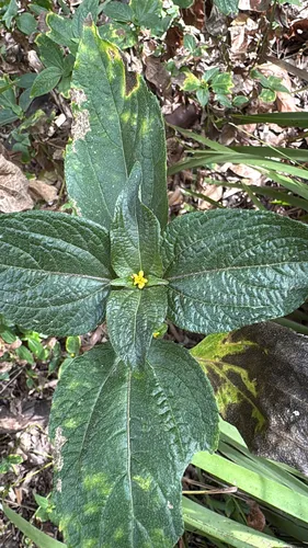
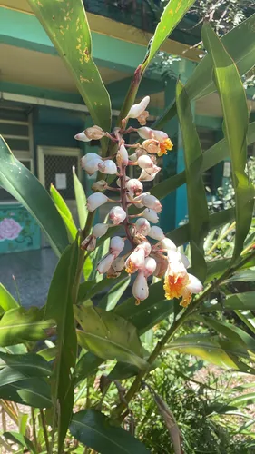
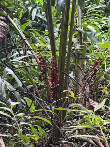
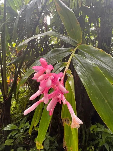
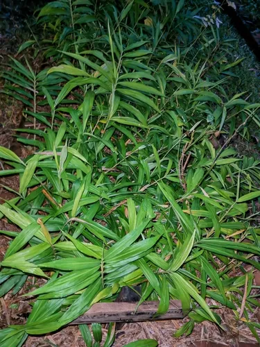
Alpinia purpurata, commonly referred to as red ginger, ostrich plume and pink cone ginger, is a ginger native to Maluku and the southwest Pacific islands. In typical ginger fashion, A. purpurata is a rhizomatous plant, spreading underground in a horizontal growth habit, sending feeder roots downwards into the substrate and sprouting leafy vertical stems from nodes located along the rhizome. As its common name implies, red ginger blooms with showy inflorescences on long, bright magenta- to red-hued bracts; while they appear to be a blossom, bracts are in fact modified leaves that contain the plant's actual flowers. Bracts are a common feature of many botanical genera, having evolved to protect and resemble the flowers and appeal to pollinators. The actual flower "parts" are located inside, often accessed by crawling insects like ants or beetles. Wikipedia →
Red Ginger is flagged invasive in the U.S. These natives fill a similar niche — same growth habit, bloom season, height, and region — so you keep the look and feed local wildlife instead of spreading a problem.
Growing & care
USDA PLANTS · TRY- Height
- 2.3 ft
- Lifespan
- Perennial
- Foliage
- Evergreen broadleaf
Wildlife & pollinators
How pollinator value is scored →Wildlife & visitors 2 birds
Open records of who else uses Red Ginger — a generalist food-web signal, kept separate from the keystone Ecological Value.
Recorded eaten by 2 birds species (fruit, seed, browse):
")
")
Related plants
More Alpinia →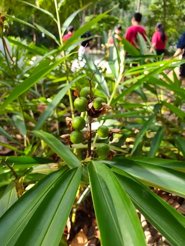
How we know this (3) Methods & honest limits
We read each species’ measured specific leaf area (leaf area per unit dry weight) from the Global Spectrum dataset and band it: thin & fast (high SLA), medium, or thick & tough (low SLA). The global median is about 10 mm²/mg.
Honest limits: A species-mean from pooled measurements — individual plants vary with light and site. A broad strategy signal, not a precise per-plant figure.
A recorded categorical fact: each species is tagged C3 (standard), C4 (heat/water-efficient) or CAM (succulent, night-time CO₂ uptake) — or a facultative combination. We only show a trait card for the noteworthy C4/CAM cases; C3 is the unremarkable majority, kept in the data but not surfaced as a card.
We take the plant’s U.S. county range and look up each county’s long-term climate, then summarise: native rainfall = the median annual rainfall across its counties; heat tolerance = the warm end (90th percentile) of average temperature across its range (mirroring how our cold-hardiness floor uses an extreme). Counties + medians blunt the roadside/observer bias that makes point-level climate unreliable. Needs at least five placeable counties.
Honest limits: A realized, sampling-biased niche (where it has been recorded, not its physiological optimum), and county climate is coarse — large Western counties span deserts and mountains. Derived guide, never a measured fact.
Sources for this entry (18) Open & cited
Cite this page Open data, please attribute
PlantKey’s data is open under CC BY-SA 4.0 — free to reuse and adapt, with attribution and the same licence. Photos keep their own per-image licence + credit (see Sources above).
Loading…
BibTeX
Loading…