
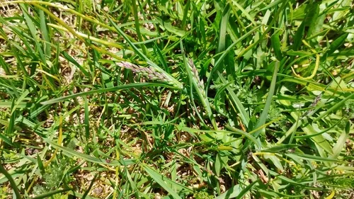
Hill Cane Arundinaria appalachiana
Hill Cane is a plant native to the lower 48 states.
More about this plant
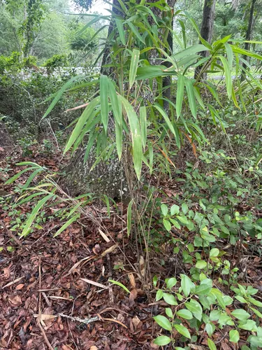
Arundinaria appalachiana, commonly known as hill cane, is a woody bamboo native to the Appalachian Mountains in the southeastern United States. The plant was elevated to the species level in 2006 based on new morphological and genetic information and was previously treated as a variety of Arundinaria tecta. The shortest member of its genus, hill cane ranges from 0.4–1.8 metres tall with a habit ranging from diffuse to pluri-caespitose. It is one of only four temperate species of bamboo native to North America. Hill cane is common on dry to mesic sites on upland slopes, bluffs and ridges in oak-hickory forests, which distinguishes it from other species in the genus: Arundinaria gigantea typically appears along perennial streams, while Arundinaria tecta is found in swamps and other very wet areas. Wikipedia →
Growing & care
USDA PLANTS · TRY- Hardiness
- ≥ zone 8 derived from its U.S. range
Wildlife & pollinators
How pollinator value is scored →❧ Caterpillar hosts ~8 caterpillar species
Arundinaria supports ~8 caterpillar species.
Native butterfly & moth caterpillars are the base of the terrestrial food web — most songbirds rear their young almost entirely on them. As a host for native Lepidoptera this is a modest genus.
Recorded feeding on Arundinaria in North America, including:
")
")
")
")
Related plants
More Arundinaria →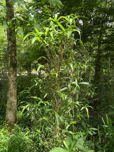
How we know this (1) Methods & honest limits
We take the plant’s U.S. county range and look up each county’s long-term climate, then summarise: native rainfall = the median annual rainfall across its counties; heat tolerance = the warm end (90th percentile) of average temperature across its range (mirroring how our cold-hardiness floor uses an extreme). Counties + medians blunt the roadside/observer bias that makes point-level climate unreliable. Needs at least five placeable counties.
Honest limits: A realized, sampling-biased niche (where it has been recorded, not its physiological optimum), and county climate is coarse — large Western counties span deserts and mountains. Derived guide, never a measured fact.
Sources for this entry (14) Open & cited
Cite this page Open data, please attribute
PlantKey’s data is open under CC BY-SA 4.0 — free to reuse and adapt, with attribution and the same licence. Photos keep their own per-image licence + credit (see Sources above).
Loading…
BibTeX
Loading…