
Aulacomnium Moss Aulacomnium palustre
Aulacomnium Moss is a moss native to North America.
More about this plant
Aulacomnium palustre, the bog groove-moss or ribbed bog moss, is a moss that is nearly cosmopolitan in distribution. It occurs in North America, Hispaniola, Venezuela, Eurasia, and New Zealand. In North America, it occurs across southern arctic, subboreal, and boreal regions from Alaska and British Columbia to Greenland and Quebec. Documentation of ribbed bog moss's distribution in the contiguous United States is probably incomplete. It is reported sporadically south to Washington, Wyoming, Georgia, and Virginia. Wikipedia →
Growing & care
USDA PLANTS · TRY- Hardiness
- ≥ zone 7 derived from its U.S. range
Related plants
More Aulacomnium →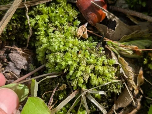
How we know this (1) Methods & honest limits
We take the plant’s U.S. county range and look up each county’s long-term climate, then summarise: native rainfall = the median annual rainfall across its counties; heat tolerance = the warm end (90th percentile) of average temperature across its range (mirroring how our cold-hardiness floor uses an extreme). Counties + medians blunt the roadside/observer bias that makes point-level climate unreliable. Needs at least five placeable counties.
Honest limits: A realized, sampling-biased niche (where it has been recorded, not its physiological optimum), and county climate is coarse — large Western counties span deserts and mountains. Derived guide, never a measured fact.
Sources for this entry (12) Open & cited
Cite this page Open data, please attribute
PlantKey’s data is open under CC BY-SA 4.0 — free to reuse and adapt, with attribution and the same licence. Photos keep their own per-image licence + credit (see Sources above).
Loading…
BibTeX
Loading…