PlantKey Open ecological atlas
Planner
Home / Browse / Ayenia / Rio Grande Ayenia
iNaturalist — CC, credited & licensed per image
Sterculiaceae family

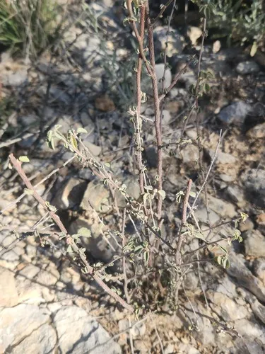
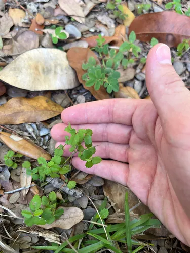
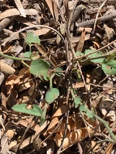
Rio Grande Ayenia Ayenia limitaris

Native

Rio Grande Ayenia is a perennial shrub native to the lower 48 states.

More about this plant

Ayenia limitaris is a rare North American species of flowering plant in the mallow family known by the common names Rio Grande ayenia, Texas ayenia, and Tamaulipan kidneypetal. It is native to an area straddling the Rio Grande in Mexico and the United States. Today it is known from far southern Texas and far northern sections of the Mexican states of Coahuila and Tamaulipas. It has become rare because most of its habitat has been degraded or destroyed. There are perhaps four populations remaining in Texas and two in Mexico, for a total of 1000 individual plants at most. It is a federally listed endangered species of the United States. Wikipedia →

Growing & care

USDA PLANTS · TRY
Conditions
Sources · Conditions
Cold hardiness (derived) — Hardiness
Hardiness
≥ zone 10 derived from its U.S. range
Size & form
Sources · Size & form
USDA PLANTS — Lifespan
Lifespan
Perennial
In the garden
Shrub layer — Sits in the shrub of a layered food forest or polyculture.Open guide →
derived roles
Species characteristics from USDA PLANTS (public domain) + TRY (CC BY) — general guidance, not a guarantee for your exact site. Deer "browsing" is documented palatability, not a deer-proof claim.
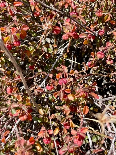
Sources for this entry (11) Open & cited
[01] Scientific name & family — USDA PLANTS (DwCA, Zenodo 17903503)
[02] Growth habit & duration — USDA PLANTS (DwCA, Zenodo 17903503)
[03] Native status & distribution — USDA PLANTS (DwCA, Zenodo 17903503)
[04] Common name — USDA PLANTS (via GBIF)
[05] Invasive / introduced status — USDA PLANTS (DwCA, Zenodo 17903503) — native status
[07] Description — Wikipedia (CC BY-SA)
[08] Conservation rank — NatureServe Explorer (CC BY)
[09] Federal ESA status — USFWS ECOS (U.S. Fish & Wildlife Service)
[10] Cold hardiness (derived) — Derived from U.S. range × USDA PHZM zones
[11] County range — GBIF Open Data — open-licensed occurrences (CC0/CC-BY) → county
Spot an error or have a better photo? Every field links to its source, and the whole dataset is open.
Cite this page Open data, please attribute

PlantKey’s data is open under CC BY-SA 4.0 — free to reuse and adapt, with attribution and the same licence. Photos keep their own per-image licence + credit (see Sources above).

Citation

Loading…

BibTeX
Loading…