
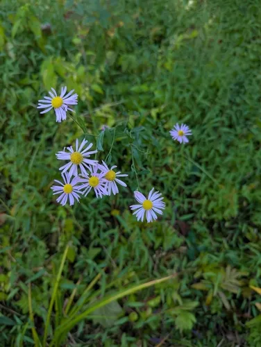
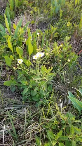
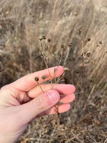
Claspingleaf Doll's Daisy Boltonia decurrens
Claspingleaf Doll's Daisy is a perennial wildflower native to the lower 48 states.
More about this plant
Boltonia decurrens is a rare species of flowering plant in the family Asteraceae known by the common names decurrent false aster and claspingleaf doll's daisy. It is native to the floodplains along the Illinois and Mississippi Rivers in the United States, where the habitat has been drastically altered, leading to its decline. The plant was once distributed across 400 kilometers of riverside forest from LaSalle, Illinois, to St. Louis, Missouri. As the rivers and riparian habitat alongside them have been developed, the plant's distribution has been fragmented into 40 to 43 separate populations. At one point it was thought to have been extirpated from Missouri, but a few populations have been located near St. Louis since the mid-1980s. Despite having declined over time, several populations of the plant contain many thousands of individuals. Populations vary depending on the amount and duration of flooding that occurs in the area each year. The plant is a federally listed threatened species. Wikipedia →
Growing & care
USDA PLANTS · TRY- Hardiness
- ≥ zone 6 derived from its U.S. range
- Lifespan
- Perennial
Wildlife & pollinators
How pollinator value is scored →✦ Bees 3 bee visitors
3 native & managed bee species are documented visiting Claspingleaf Doll's Daisy :
")
")
")
Related plants
More Boltonia →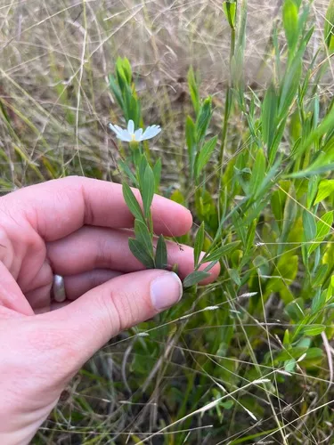
How we know this (1) Methods & honest limits
We take the plant’s U.S. county range and look up each county’s long-term climate, then summarise: native rainfall = the median annual rainfall across its counties; heat tolerance = the warm end (90th percentile) of average temperature across its range (mirroring how our cold-hardiness floor uses an extreme). Counties + medians blunt the roadside/observer bias that makes point-level climate unreliable. Needs at least five placeable counties.
Honest limits: A realized, sampling-biased niche (where it has been recorded, not its physiological optimum), and county climate is coarse — large Western counties span deserts and mountains. Derived guide, never a measured fact.
Sources for this entry (17) Open & cited
Cite this page Open data, please attribute
PlantKey’s data is open under CC BY-SA 4.0 — free to reuse and adapt, with attribution and the same licence. Photos keep their own per-image licence + credit (see Sources above).
Loading…
BibTeX
Loading…