PlantKey Open ecological atlas
Planner
Home / Browse / Botrychium / Common Moonwort
iNaturalist — CC, credited & licensed per image
Ophioglossaceae family

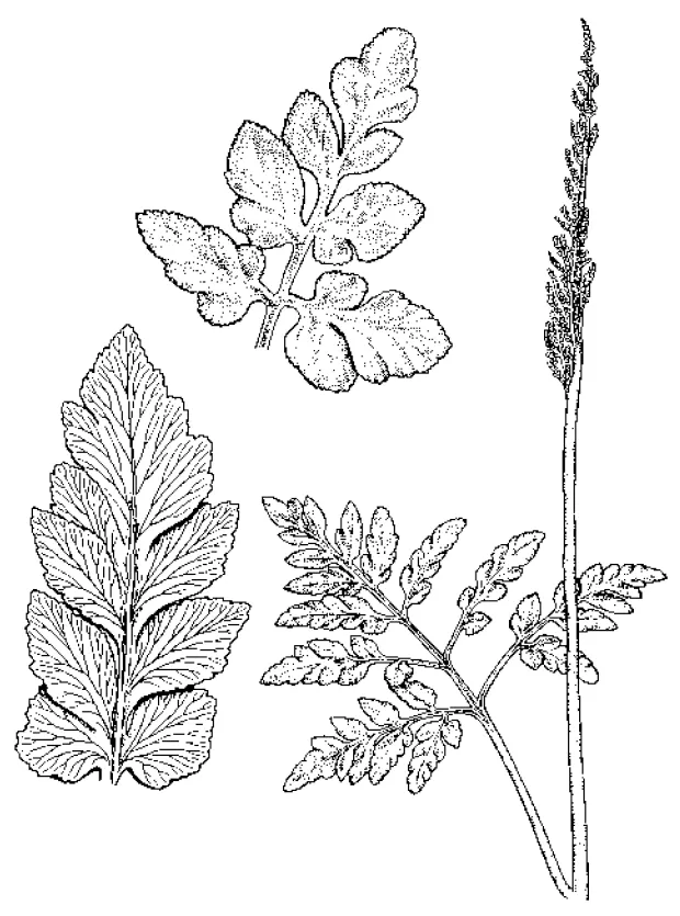
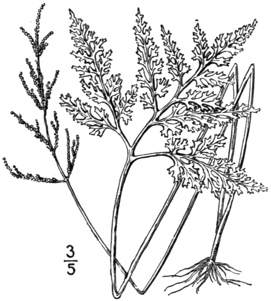
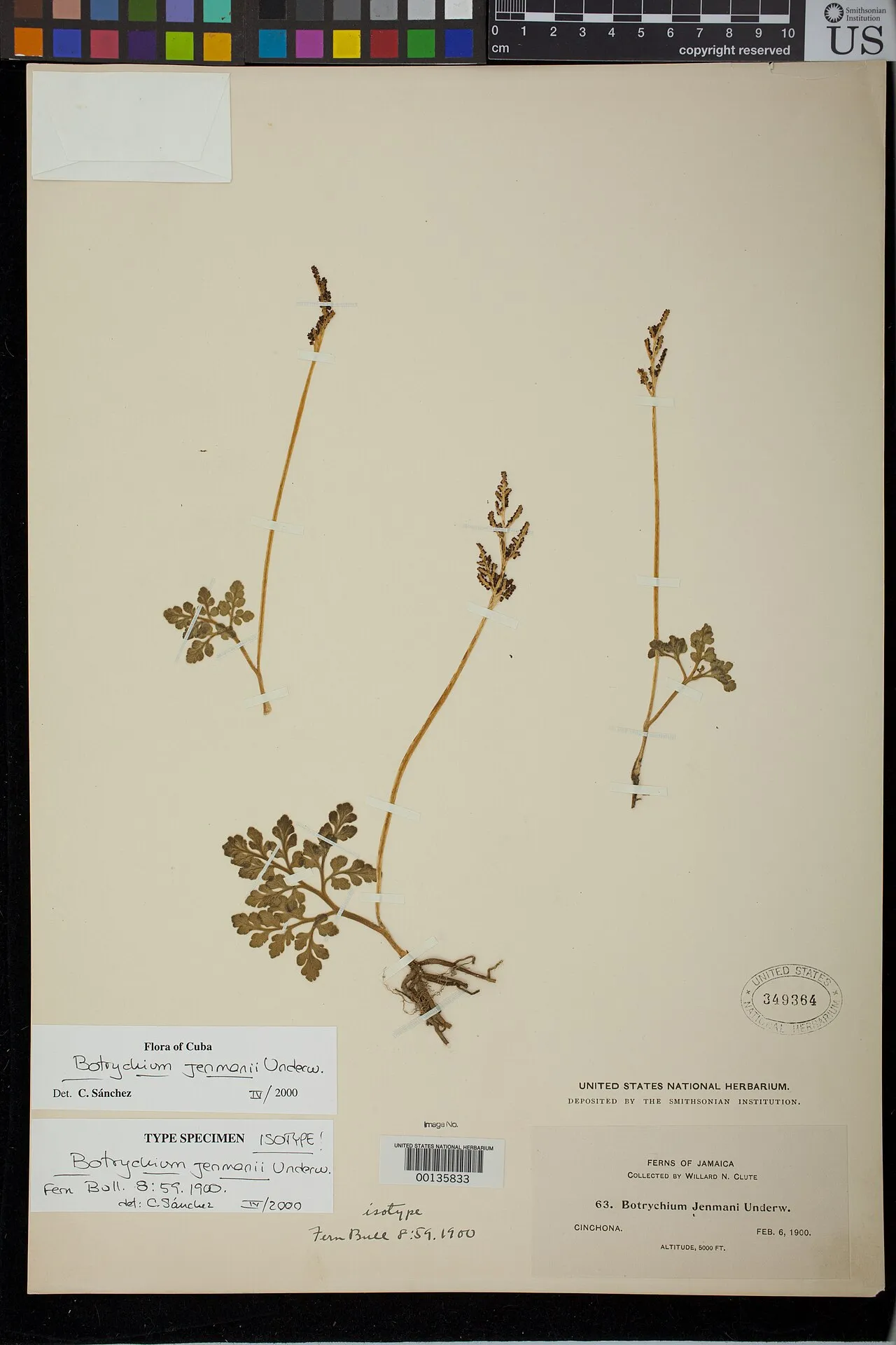
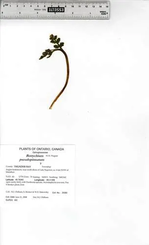
Common Moonwort Botrychium lunaria

Native
Also known as: moonwort

Common Moonwort is a perennial fern native to Alaska, Canada, and Greenland. It grows to 1 ft in full sun – part shade.

More about this plant

Botrychium lunaria is a species of fern in the family Ophioglossaceae known by the common name moonwort or common moonwort. It is the most widely distributed moonwort, growing throughout the Northern Hemisphere across Eurasia and from Alaska to Greenland, as well as temperate parts of the Southern Hemisphere. Wikipedia →

Growing & care

USDA PLANTS · TRY
Conditions
Sources · Conditions
USDA PLANTS — Sun · Soil & moisture
USDA — SoilPH — Soil pH
USDA PLANTS (DwCA, Zenodo 17903503) — Fertility Requirement / Soil Adaptation — Fertility need · Adapts to
USDA — Temp-Min °F — Hardiness
Sun
Full sun – part shade
Soil & moisture
Medium moisture
Soil pH
5.8–7.2
Fertility need
Medium
Adapts to
Coarse (sandy), Medium (loam)
Hardiness
USDA zone 4+
Size & form
Sources · Size & form
USDA PLANTS (DwCA, Zenodo 17903503) — Height, Mature — Height
USDA PLANTS (DwCA, Zenodo 17903503) — Planting Density (per acre) — Spacing
USDA PLANTS (DwCA, Zenodo 17903503) — Growth Rate / Spread / Growth Form / Lifespan / Active Growth Period / Seed Period — Spread · Growth rate · Growth form · Active growth
USDA PLANTS — Lifespan
TRY Plant Trait Database (CC BY 4.0) · USDA PLANTS — Foliage
Height
1 ft
Spacing
3–5 ft apart from USDA planting density
Spread
Slow
Growth rate
Slow
Growth form
Rhizomatous
Lifespan
Perennial · moderate
Foliage
Broadleaf · fine texture
Active growth
Spring
In the garden
Sources · In the garden
USDA PLANTS (DwCA, Zenodo 17903503) — Propagation Method / Commercial Availability — Propagate by · In the trade
USDA PLANTS (DwCA, Zenodo 17903503) — Germination (cold stratification) — Seed starting
USDA PLANTS (DwCA, Zenodo 17903503) — Foliage Texture / Browse Palatability / Resprout — Resprouts if cut
Propagate by
Bare root, Sprigs
Seed starting
No stratification needed
In the trade
No known commercial source
Resprouts if cut
No
Herb layer — Sits in the herb of a layered food forest or polyculture.Open guide →
High-nutrient foliage — Above-average measured leaf nitrogen — its prunings make rich compost and mulch (the measured stand-in for folklore "dynamic accumulator" lists).Open guide →
derived roles
When to sow · for your area

Sow timing keys off your local last- and first-frost dates.

Species characteristics from USDA PLANTS (public domain) + TRY (CC BY) — general guidance, not a guarantee for your exact site. Deer "browsing" is documented palatability, not a deer-proof claim.

Wildlife & pollinators

How pollinator value is scored →
Wildlife & visitors 53 birds

Open records of who else uses Common Moonwort — a generalist food-web signal, kept separate from the keystone Ecological Value.

Interaction records (observations, not exhaustive) from GloBI → (CC0). Counts are distinct species; names are the most-recorded. Common names from Wikidata (CC0).
Species thumbnails re-hosted from iNaturalist — Creative Commons, credited per image (hover for credit). Click any species to see it on iNaturalist. Not exhaustive; many taxa have no openly-licensed photo yet.
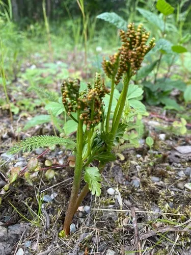
How we know this (3) Methods & honest limits
Leaf build Direct fact

We read each species’ measured specific leaf area (leaf area per unit dry weight) from the Global Spectrum dataset and band it: thin & fast (high SLA), medium, or thick & tough (low SLA). The global median is about 10 mm²/mg.

Honest limits: A species-mean from pooled measurements — individual plants vary with light and site. A broad strategy signal, not a precise per-plant figure.

Díaz, S. et al. (2022) The global spectrum of plant form and function: enhanced species-level trait dataset. Scientific Data 9:755.
Photosynthesis Direct fact

A recorded categorical fact: each species is tagged C3 (standard), C4 (heat/water-efficient) or CAM (succulent, night-time CO₂ uptake) — or a facultative combination. We only show a trait card for the noteworthy C4/CAM cases; C3 is the unremarkable majority, kept in the data but not surfaced as a card.

Kattge, J. et al. TRY plant trait database — Categorical Traits Dataset (2012).
Climate niche (heat tolerance & native rainfall) Derived

We take the plant’s U.S. county range and look up each county’s long-term climate, then summarise: native rainfall = the median annual rainfall across its counties; heat tolerance = the warm end (90th percentile) of average temperature across its range (mirroring how our cold-hardiness floor uses an extreme). Counties + medians blunt the roadside/observer bias that makes point-level climate unreliable. Needs at least five placeable counties.

Honest limits: A realized, sampling-biased niche (where it has been recorded, not its physiological optimum), and county climate is coarse — large Western counties span deserts and mountains. Derived guide, never a measured fact.

Realized-niche / climate-envelope approach (Pearson & Dawson 2003; Soberón 2007). Climate: NOAA NCEI nClimDiv county normals (1991–2020).
Derived values are computed from open data by a published method — labelled, cited, and never shown as a direct observation. Full methodology →
Sources for this entry (31) Open & cited
[01] Scientific name & family — USDA PLANTS (DwCA, Zenodo 17903503)
[02] Growth habit & duration — USDA PLANTS (DwCA, Zenodo 17903503)
[03] Native status & distribution — USDA PLANTS (DwCA, Zenodo 17903503)
[04] Common name — USDA PLANTS (via GBIF)
[17] Invasive / introduced status — USDA PLANTS (DwCA, Zenodo 17903503) — native status
[18] Wetland indicator — USACE National Wetland Plant List (2022)
[20] Description — Wikipedia (CC BY-SA)
[21] Conservation rank — NatureServe Explorer (CC BY)
[23] Functional traits — TRY Plant Trait Database (CC BY 4.0)
[24] Photosynthetic pathway — TRY Plant Trait Database (CC BY 4.0)
[25] Climate niche — Derived — realized climate niche from U.S. county occurrences (GBIF) × NOAA NCEI county climate normals 1991–2020 (public domain)
[26] Wildlife & visitors — GloBI — Global Biotic Interactions (CC0)
[30] Other common names — Wikidata (CC0)
[31] County range — GBIF Open Data — open-licensed occurrences (CC0/CC-BY) → county
Spot an error or have a better photo? Every field links to its source, and the whole dataset is open.
Cite this page Open data, please attribute

PlantKey’s data is open under CC BY-SA 4.0 — free to reuse and adapt, with attribution and the same licence. Photos keep their own per-image licence + credit (see Sources above).

Citation

Loading…

BibTeX
Loading…