
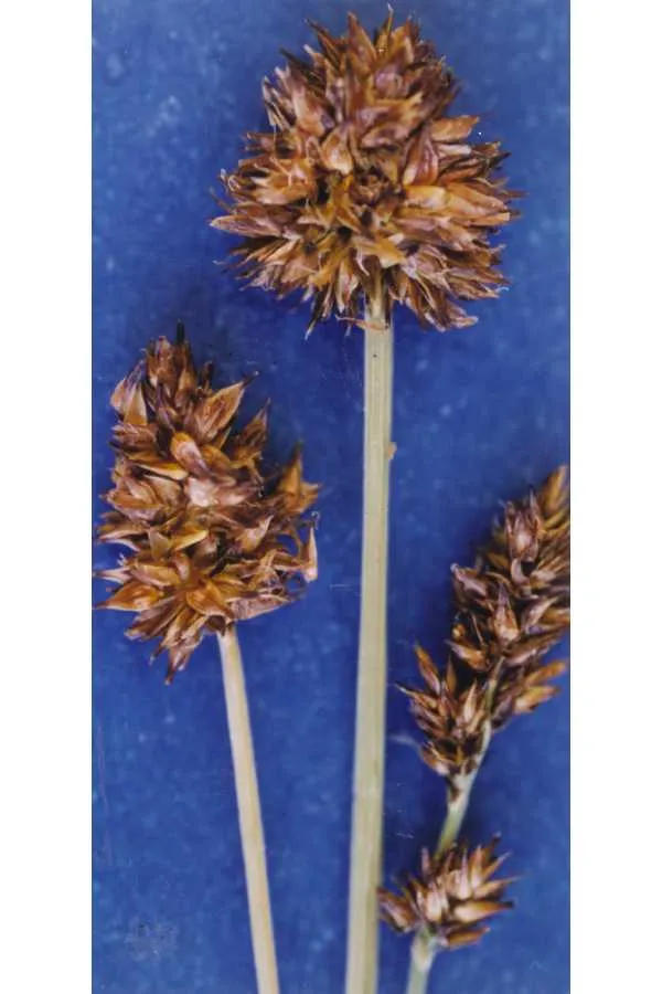
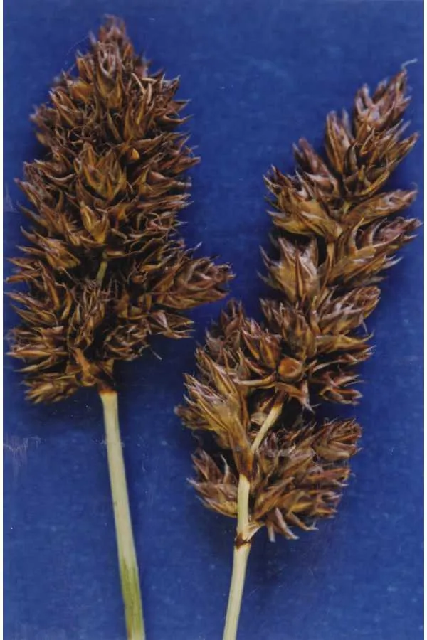
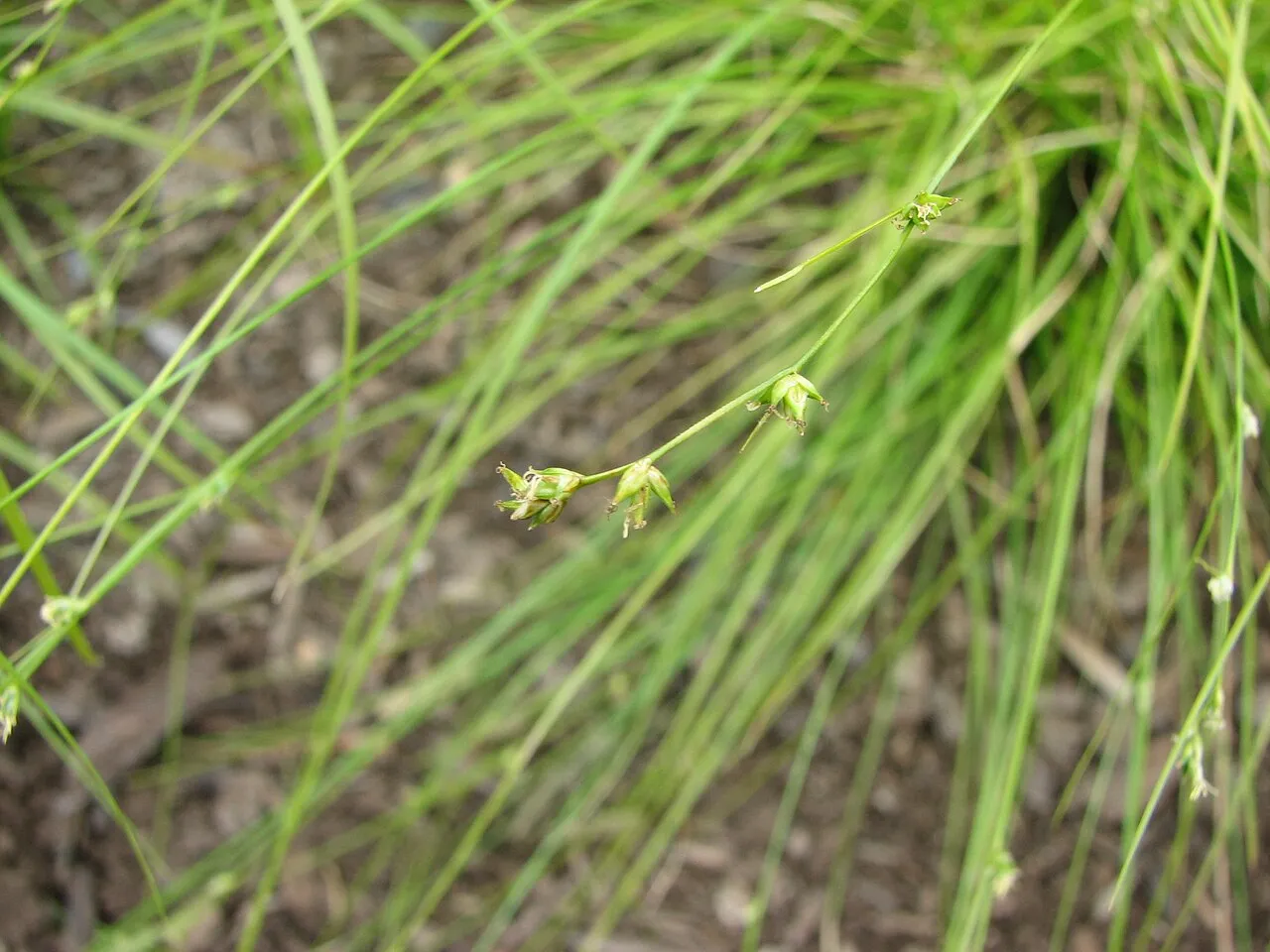
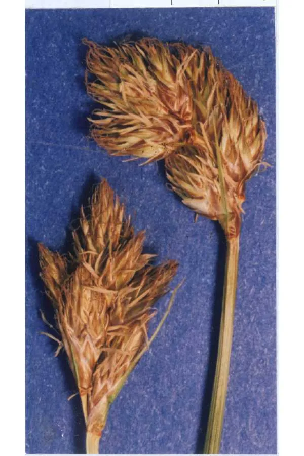
Houghton's Sedge Carex houghtoniana
Houghton's Sedge is a perennial grass native to Canada and the lower 48 states. It grows to 1.8 ft.
More about this plant
Carex houghtoniana, also known as Houghton's sedge, is a species of flowering plant in the sedge family, Cyperaceae. It is native to eastern Canada and the northeastern United States. Wikipedia →
Growing & care
USDA PLANTS · TRY- Hardiness
- ≥ zone 5 derived from its U.S. range
- Height
- 1.8 ft
- Lifespan
- Perennial
- Foliage
- Broadleaf
Wildlife & pollinators
How pollinator value is scored →❧ Caterpillar hosts ~36 caterpillar species
Carex supports ~36 caterpillar species.
Native butterfly & moth caterpillars are the base of the terrestrial food web — most songbirds rear their young almost entirely on them. As a host for native Lepidoptera this is a strong genus.
Recorded feeding on Carex in North America, including:
")
")
+ 8 more species → ↑ show fewer
")
")
")
")
Related plants
More Carex →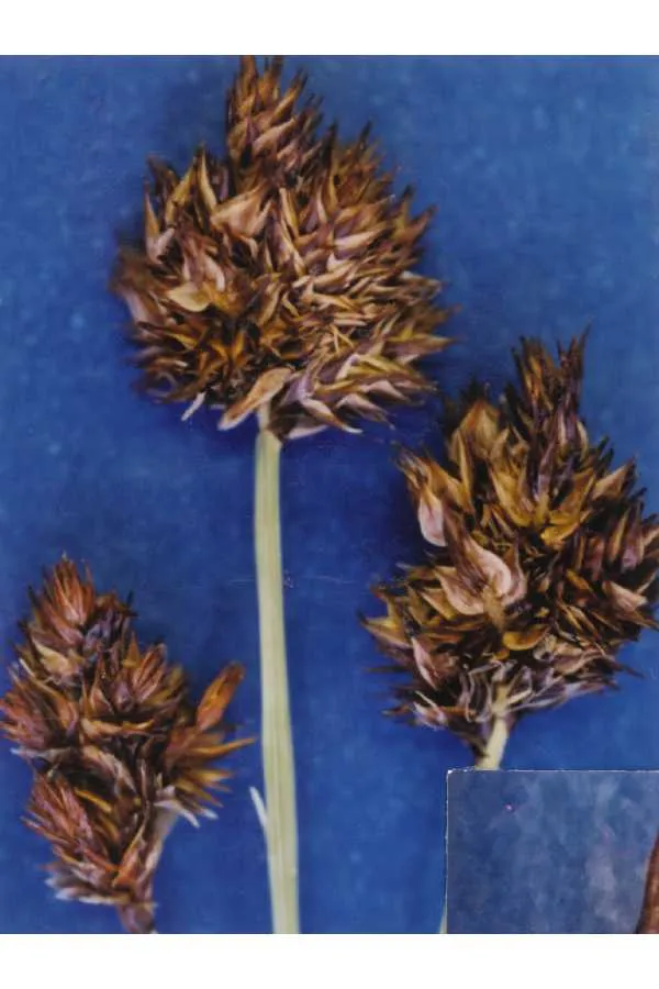
How we know this (3) Methods & honest limits
We read each species’ measured specific leaf area (leaf area per unit dry weight) from the Global Spectrum dataset and band it: thin & fast (high SLA), medium, or thick & tough (low SLA). The global median is about 10 mm²/mg.
Honest limits: A species-mean from pooled measurements — individual plants vary with light and site. A broad strategy signal, not a precise per-plant figure.
We place each species on Grime’s competitor–stress-tolerator–ruderal (C–S–R) triangle using the globally-calibrated “StrateFy” method: leaf size drives the competitor score, dense low-area leaves the stress-tolerator score, and thin high-area leaves the ruderal score. The result is a C/S/R percentage mix and one of 19 strategy classes; we show it in plain words and keep the percentages for the curious.
Honest limits: A species-mean strategy from pooled global leaf measurements — a broad ecological signal, not a precise per-plant or per-site value. Derived, never a measured fact.
We take the plant’s U.S. county range and look up each county’s long-term climate, then summarise: native rainfall = the median annual rainfall across its counties; heat tolerance = the warm end (90th percentile) of average temperature across its range (mirroring how our cold-hardiness floor uses an extreme). Counties + medians blunt the roadside/observer bias that makes point-level climate unreliable. Needs at least five placeable counties.
Honest limits: A realized, sampling-biased niche (where it has been recorded, not its physiological optimum), and county climate is coarse — large Western counties span deserts and mountains. Derived guide, never a measured fact.
Sources for this entry (19) Open & cited
Cite this page Open data, please attribute
PlantKey’s data is open under CC BY-SA 4.0 — free to reuse and adapt, with attribution and the same licence. Photos keep their own per-image licence + credit (see Sources above).
Loading…
BibTeX
Loading…