PlantKey Open ecological atlas
Planner
Home / Browse / Ceratodon / Ceratodon Moss
iNaturalist — CC, credited & licensed per image
Ditrichaceae family

Ceratodon Moss Ceratodon purpureus

Native

Ceratodon Moss is a moss native to North America.

More about this plant

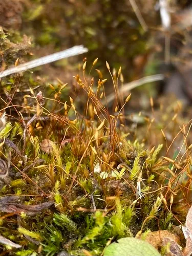
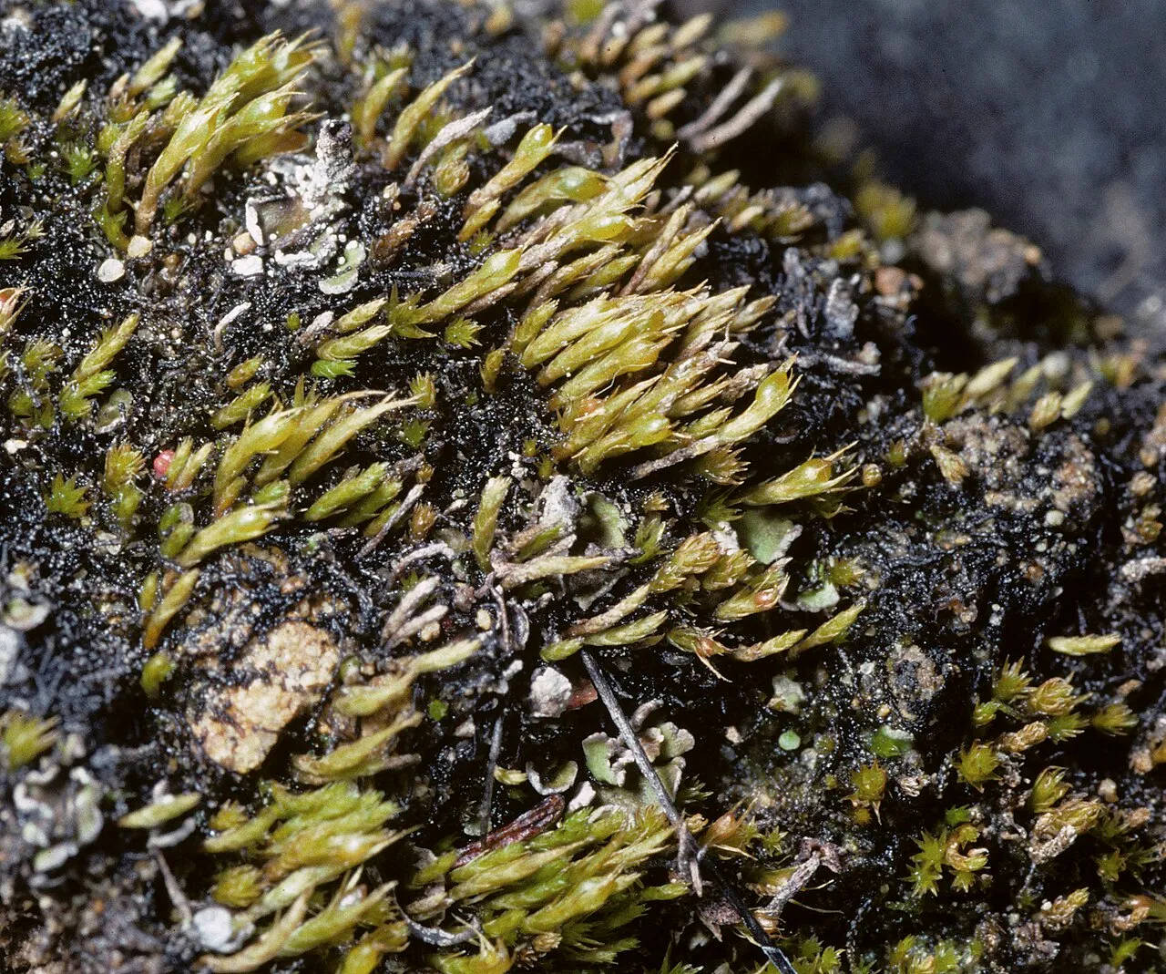
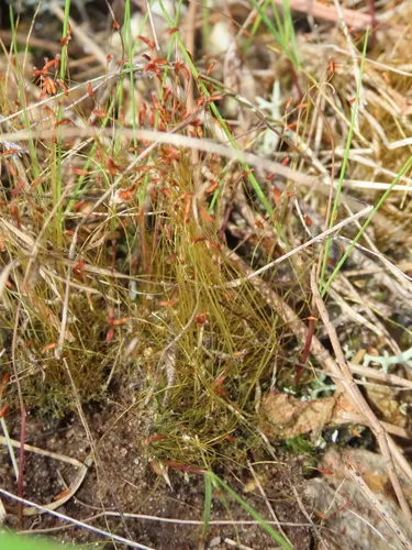
Ceratodon purpureus is a dioicous moss with a color ranging from yellow-green to red. The height amounts to 3 centimeters. It is found worldwide, mainly in urban areas and next to roads on dry sand soils. It can grow in a very wide variety of habitats, from polluted highway shoulders and mine tailings to areas recently denuded by wildfire to the bright slopes of Antarctica. Its common names include fire moss, redshank, purple forkmoss, ceratodon moss, and purple horn toothed moss. Wikipedia →

Growing & care

USDA PLANTS · TRY
Conditions
Sources · Conditions
Cold hardiness (derived) — Hardiness
Hardiness
≥ zone 7 derived from its U.S. range
Species characteristics from USDA PLANTS (public domain) + TRY (CC BY) — general guidance, not a guarantee for your exact site. Deer "browsing" is documented palatability, not a deer-proof claim.

Wildlife & pollinators

How pollinator value is scored →
Wildlife & visitors 1 mammal

Open records of who else uses Ceratodon Moss — a generalist food-web signal, kept separate from the keystone Ecological Value.

Recorded eaten by 1 mammal species (fruit, seed, browse):

Interaction records (observations, not exhaustive) from GloBI → (CC0). Counts are distinct species; names are the most-recorded. Common names from Wikidata (CC0).
Species thumbnails re-hosted from iNaturalist — Creative Commons, credited per image (hover for credit). Click any species to see it on iNaturalist. Not exhaustive; many taxa have no openly-licensed photo yet.
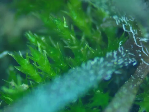
How we know this (1) Methods & honest limits
Climate niche (heat tolerance & native rainfall) Derived

We take the plant’s U.S. county range and look up each county’s long-term climate, then summarise: native rainfall = the median annual rainfall across its counties; heat tolerance = the warm end (90th percentile) of average temperature across its range (mirroring how our cold-hardiness floor uses an extreme). Counties + medians blunt the roadside/observer bias that makes point-level climate unreliable. Needs at least five placeable counties.

Honest limits: A realized, sampling-biased niche (where it has been recorded, not its physiological optimum), and county climate is coarse — large Western counties span deserts and mountains. Derived guide, never a measured fact.

Realized-niche / climate-envelope approach (Pearson & Dawson 2003; Soberón 2007). Climate: NOAA NCEI nClimDiv county normals (1991–2020).
Derived values are computed from open data by a published method — labelled, cited, and never shown as a direct observation. Full methodology →
Sources for this entry (12) Open & cited
[01] Scientific name & family — USDA PLANTS (DwCA, Zenodo 17903503)
[02] Growth habit & duration — USDA PLANTS (DwCA, Zenodo 17903503)
[03] Native status & distribution — USDA PLANTS (DwCA, Zenodo 17903503)
[04] Common name — USDA PLANTS (via GBIF)
[05] Invasive / introduced status — USDA PLANTS (DwCA, Zenodo 17903503) — native status
[07] Description — Wikipedia (CC BY-SA)
[08] Conservation rank — NatureServe Explorer (CC BY)
[09] Climate niche — Derived — realized climate niche from U.S. county occurrences (GBIF) × NOAA NCEI county climate normals 1991–2020 (public domain)
[10] Cold hardiness (derived) — Derived from U.S. range × USDA PHZM zones
[11] Wildlife & visitors — GloBI — Global Biotic Interactions (CC0)
[12] County range — GBIF Open Data — open-licensed occurrences (CC0/CC-BY) → county
Spot an error or have a better photo? Every field links to its source, and the whole dataset is open.
Cite this page Open data, please attribute

PlantKey’s data is open under CC BY-SA 4.0 — free to reuse and adapt, with attribution and the same licence. Photos keep their own per-image licence + credit (see Sources above).

Citation

Loading…

BibTeX
Loading…