PlantKey Open ecological atlas
Planner
Home / Browse / Ceratopteris / Floating Antlerfern
iNaturalist — CC, credited & licensed per image
Parkeriaceae family

Floating Antlerfern Ceratopteris pteridoides

Native

Floating Antlerfern is an annual wildflower native to the lower 48 states.

More about this plant

Ceratopteris pteridoides, the floating antler-fern, is a species of aquatic fern in the family Pteridaceae. It is native to the subtropical and tropical New World, the Indian Subcontinent, central and eastern China, and Vietnam. A short-lived perennial, it can reach 4 ft (1.2 m) in width. Wikipedia →

Growing & care

USDA PLANTS · TRY
Conditions
Sources · Conditions
Cold hardiness (derived) — Hardiness
Hardiness
≥ zone 9 derived from its U.S. range
Size & form
Sources · Size & form
USDA PLANTS — Lifespan
TRY Plant Trait Database (CC BY 4.0) — Foliage
Lifespan
Annual
Foliage
Broadleaf
In the garden
Herb layer — Sits in the herb of a layered food forest or polyculture.Open guide →
Rain garden / bioswale — Rated OBL on the wetland list — tolerates wet feet, so it suits the soggy zone of a rain garden or bioswale that catches and filters runoff.Open guide →
derived roles
Species characteristics from USDA PLANTS (public domain) + TRY (CC BY) — general guidance, not a guarantee for your exact site. Deer "browsing" is documented palatability, not a deer-proof claim.
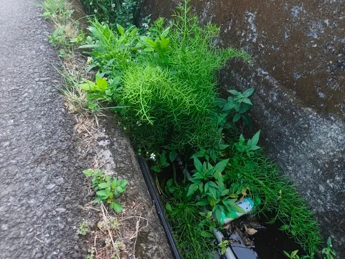
How we know this (1) Methods & honest limits
Climate niche (heat tolerance & native rainfall) Derived

We take the plant’s U.S. county range and look up each county’s long-term climate, then summarise: native rainfall = the median annual rainfall across its counties; heat tolerance = the warm end (90th percentile) of average temperature across its range (mirroring how our cold-hardiness floor uses an extreme). Counties + medians blunt the roadside/observer bias that makes point-level climate unreliable. Needs at least five placeable counties.

Honest limits: A realized, sampling-biased niche (where it has been recorded, not its physiological optimum), and county climate is coarse — large Western counties span deserts and mountains. Derived guide, never a measured fact.

Realized-niche / climate-envelope approach (Pearson & Dawson 2003; Soberón 2007). Climate: NOAA NCEI nClimDiv county normals (1991–2020).
Derived values are computed from open data by a published method — labelled, cited, and never shown as a direct observation. Full methodology →
Sources for this entry (14) Open & cited
[01] Scientific name & family — USDA PLANTS (DwCA, Zenodo 17903503)
[02] Growth habit & duration — USDA PLANTS (DwCA, Zenodo 17903503)
[03] Native status & distribution — USDA PLANTS (DwCA, Zenodo 17903503)
[04] Common name — USDA PLANTS (via GBIF)
[05] Invasive / introduced status — USDA PLANTS (DwCA, Zenodo 17903503) — native status
[06] Wetland indicator — USACE National Wetland Plant List (2022)
[08] Description — Wikipedia (CC BY-SA)
[09] Ecological value — GloBI
[10] Conservation rank — NatureServe Explorer (CC BY)
[12] Climate niche — Derived — realized climate niche from U.S. county occurrences (GBIF) × NOAA NCEI county climate normals 1991–2020 (public domain)
[13] Cold hardiness (derived) — Derived from U.S. range × USDA PHZM zones
[14] County range — GBIF Open Data — open-licensed occurrences (CC0/CC-BY) → county
Spot an error or have a better photo? Every field links to its source, and the whole dataset is open.
Cite this page Open data, please attribute

PlantKey’s data is open under CC BY-SA 4.0 — free to reuse and adapt, with attribution and the same licence. Photos keep their own per-image licence + credit (see Sources above).

Citation

Loading…

BibTeX
Loading…