
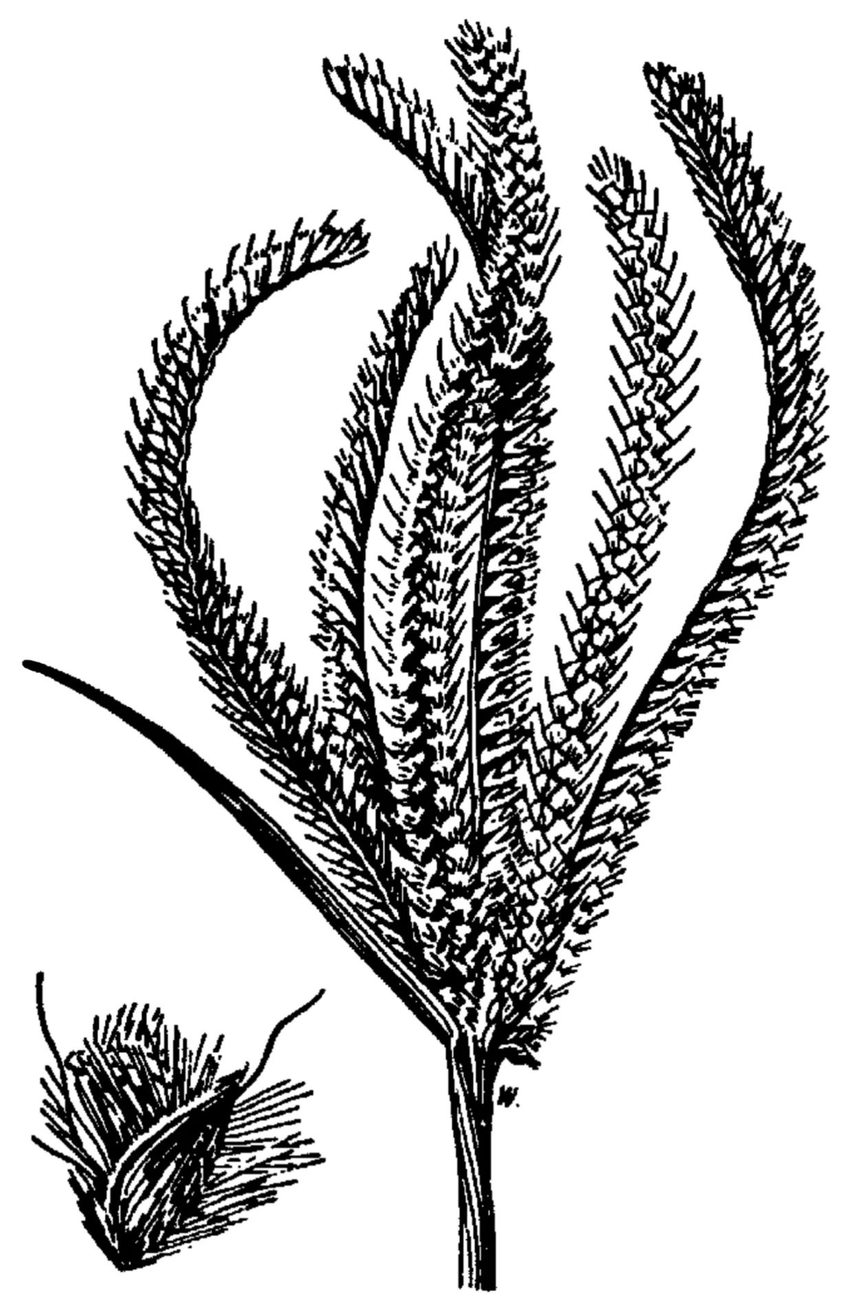
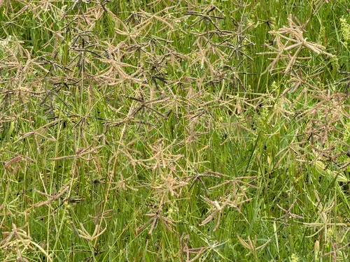
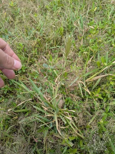
Swollen Fingergrass Chloris barbata
Swollen Fingergrass is an annual grass native to Puerto Rico and the U.S. Virgin Islands.
More about this plant
Chloris barbata, the swollen fingergrass or purpletop chloris, is a widespread species of flowering plant in the grass family Poaceae. It is native to drier parts of the Old World tropics and sub-tropics, and it has been introduced to the southern US, most of Latin America and the Caribbean, many tropical islands, and Australia. It is considered an invasive weed species and is host to a number of serious agricultural pest species. Wikipedia →
Growing & care
USDA PLANTS · TRY- Hardiness
- ≥ zone 9 derived from its U.S. range
- Lifespan
- Annual
- Foliage
- Broadleaf
Wildlife & pollinators
How pollinator value is scored →❧ Caterpillar hosts ~2 caterpillar species
Chloris supports ~2 caterpillar species.
Native butterfly & moth caterpillars are the base of the terrestrial food web — most songbirds rear their young almost entirely on them. As a host for native Lepidoptera this is a modest genus.
Recorded feeding on Chloris in North America, including:
")
")
Wildlife & visitors 1 mammal
Open records of who else uses Swollen Fingergrass — a generalist food-web signal, kept separate from the keystone Ecological Value.
Recorded eaten by 1 mammal species (fruit, seed, browse):
")
Related plants
More Chloris →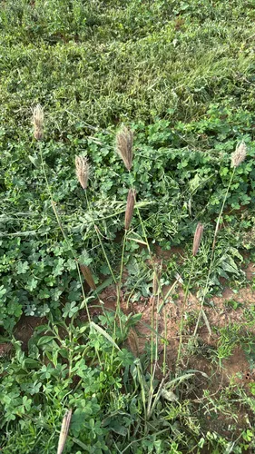
How we know this (2) Methods & honest limits
A recorded categorical fact: each species is tagged C3 (standard), C4 (heat/water-efficient) or CAM (succulent, night-time CO₂ uptake) — or a facultative combination. We only show a trait card for the noteworthy C4/CAM cases; C3 is the unremarkable majority, kept in the data but not surfaced as a card.
We take the plant’s U.S. county range and look up each county’s long-term climate, then summarise: native rainfall = the median annual rainfall across its counties; heat tolerance = the warm end (90th percentile) of average temperature across its range (mirroring how our cold-hardiness floor uses an extreme). Counties + medians blunt the roadside/observer bias that makes point-level climate unreliable. Needs at least five placeable counties.
Honest limits: A realized, sampling-biased niche (where it has been recorded, not its physiological optimum), and county climate is coarse — large Western counties span deserts and mountains. Derived guide, never a measured fact.
Sources for this entry (21) Open & cited
Cite this page Open data, please attribute
PlantKey’s data is open under CC BY-SA 4.0 — free to reuse and adapt, with attribution and the same licence. Photos keep their own per-image licence + credit (see Sources above).
Loading…
BibTeX
Loading…