
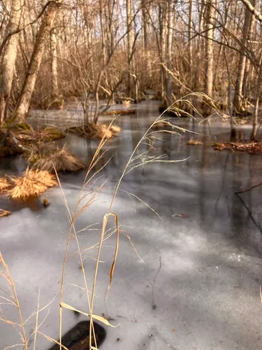
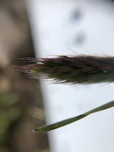
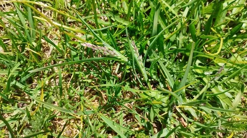
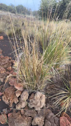
Drooping Woodreed Cinna latifolia
Drooping Woodreed is a perennial grass native to Alaska, Canada, and the lower 48 states. It grows to 4.5 ft and blooms Jul in full sun – part shade, with brown fruit.
More about this plant
Cinna latifolia is a species of grass known by the common name drooping woodreed. It is a native bunchgrass to the Northern Hemisphere, where it has a circumboreal distribution. It grows in moist habitat, such as forest understory and riverbanks. It reaches nearly two meters in maximum height. The inflorescence is an open array of spikelets generally green to purple-tinted in color. It flowers in late summer and fall. Wikipedia →
Growing & care
USDA PLANTS · TRY- Sun
- Full sun – part shade
- Soil & moisture
- High moisture
- Soil pH
- 4.7–7
- Fertility need
- Medium
- Adapts to
- Coarse (sandy), Medium (loam), Fine (clay)
- Hardiness
- USDA zone 4+
- Height
- 4.5 ft
- Spacing
- 2–3 ft apart from USDA planting density
- Spread
- Slow
- Growth rate
- Moderate
- Growth form
- Rhizomatous
- Lifespan
- Perennial · moderate
- Foliage
- Broadleaf · medium texture
- Active growth
- Spring through autumn
- Fruit
- Brown
- Propagate by
- Seed, Bare root, Sprigs
- Seed starting
- No stratification needed
- Seeds ripen
- Summer seed-collection / harvest window
- In the trade
- No known commercial source
- Deer browsing
- Medium moderately palatable
- Resprouts if cut
- No
Sow timing keys off your local last- and first-frost dates.
Across 58 U.S. vegetation-survey plots that recorded Drooping Woodreed, these catalog species turned up most often in the same plot — a real field co-occurrence signal, not a planting prescription.
Related plants
More Cinna →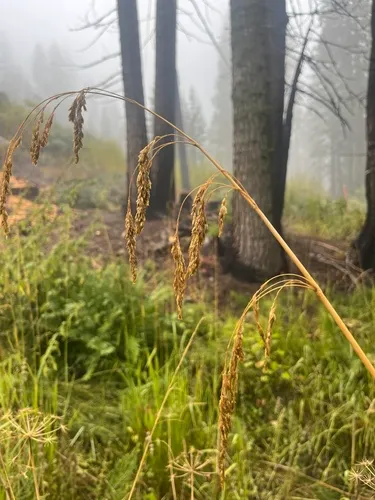
How we know this (2) Methods & honest limits
A recorded categorical fact: each species is tagged C3 (standard), C4 (heat/water-efficient) or CAM (succulent, night-time CO₂ uptake) — or a facultative combination. We only show a trait card for the noteworthy C4/CAM cases; C3 is the unremarkable majority, kept in the data but not surfaced as a card.
We take the plant’s U.S. county range and look up each county’s long-term climate, then summarise: native rainfall = the median annual rainfall across its counties; heat tolerance = the warm end (90th percentile) of average temperature across its range (mirroring how our cold-hardiness floor uses an extreme). Counties + medians blunt the roadside/observer bias that makes point-level climate unreliable. Needs at least five placeable counties.
Honest limits: A realized, sampling-biased niche (where it has been recorded, not its physiological optimum), and county climate is coarse — large Western counties span deserts and mountains. Derived guide, never a measured fact.
Sources for this entry (30) Open & cited
Cite this page Open data, please attribute
PlantKey’s data is open under CC BY-SA 4.0 — free to reuse and adapt, with attribution and the same licence. Photos keep their own per-image licence + credit (see Sources above).
Loading…
BibTeX
Loading…