PlantKey Open ecological atlas
Planner
Home / Browse / Dodecatheon / Western Arctic Shootingstar
Wikimedia Commons — CC, credited & licensed per image
Primulaceae family

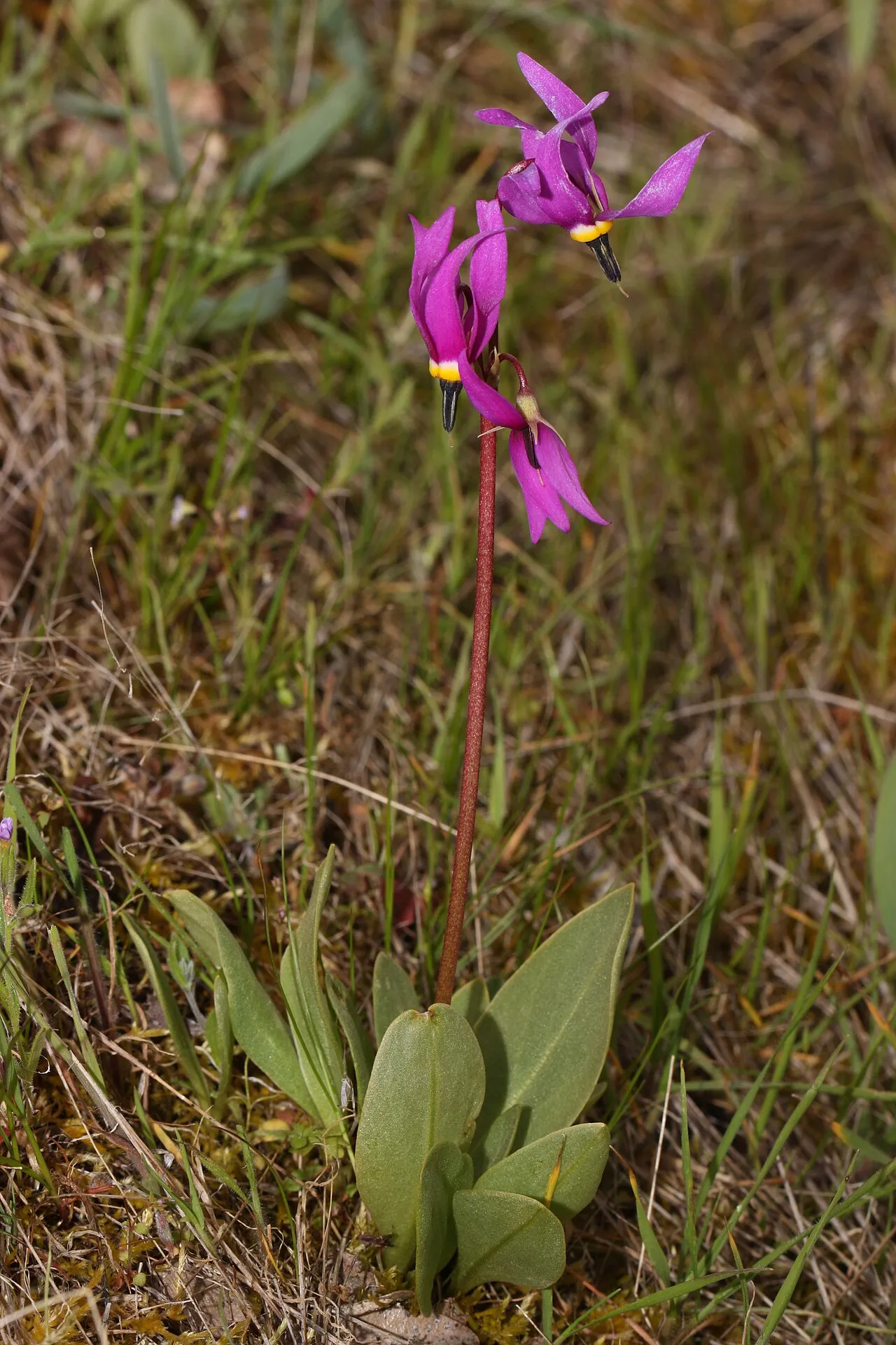
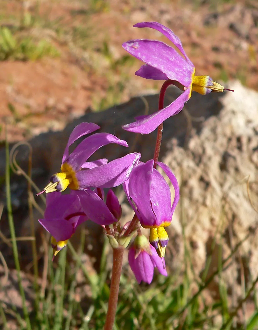
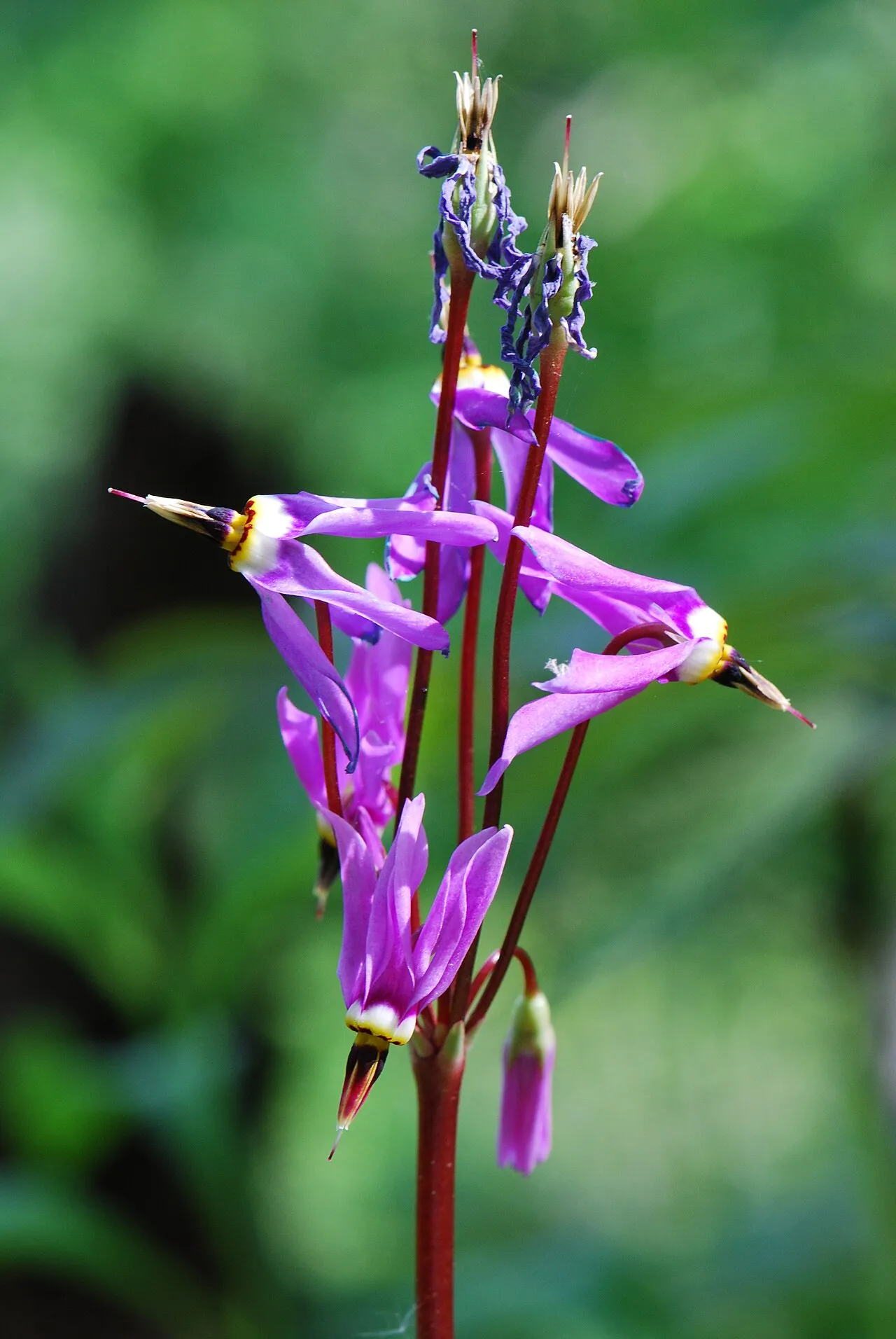
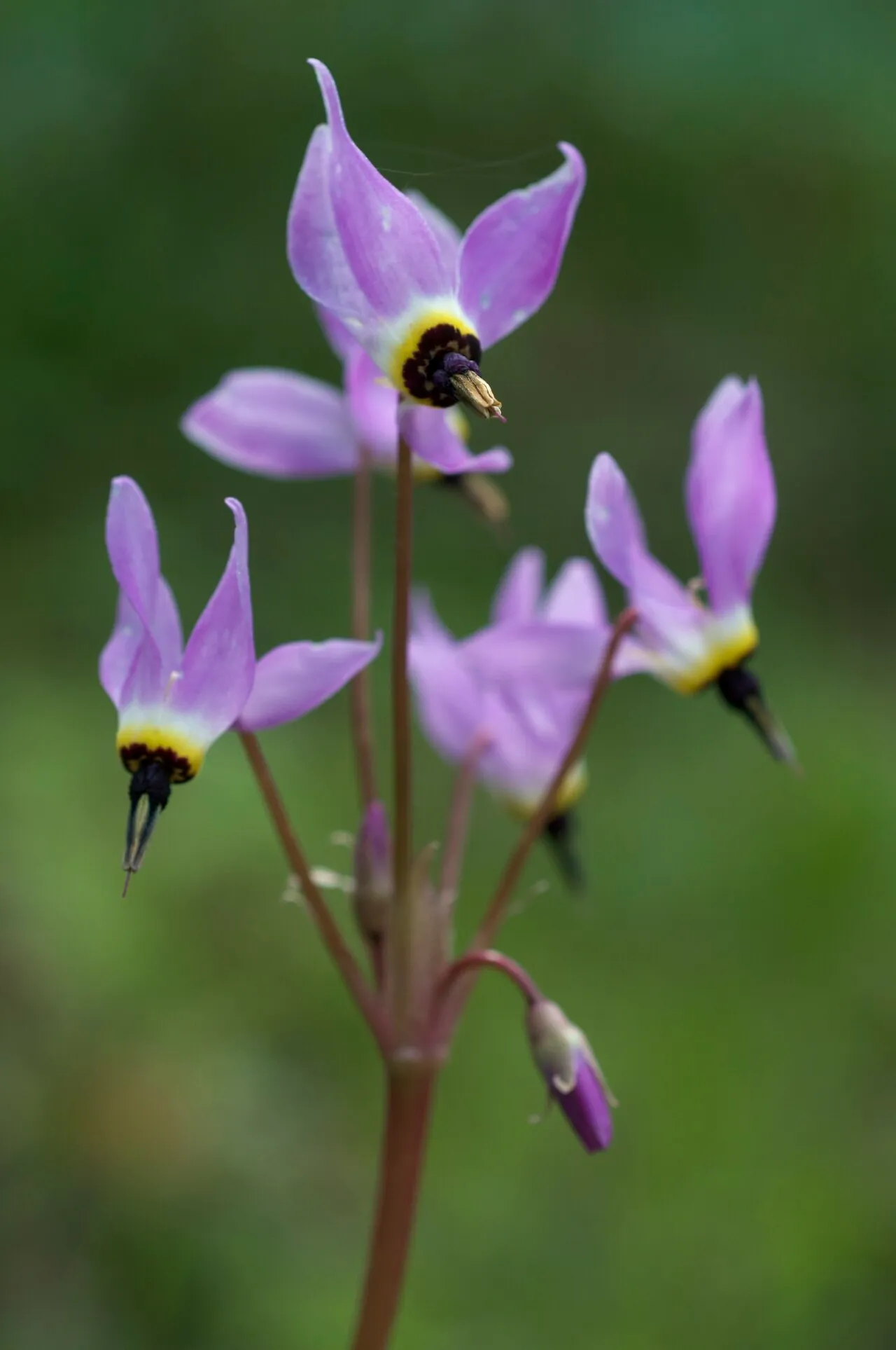
Western Arctic Shootingstar Dodecatheon frigidum

Native

Western Arctic Shootingstar is a perennial wildflower native to Alaska and Canada.

More about this plant

Primula frigida, synonym Dodecatheon frigidum, commonly called the western arctic shootingstar, is a plant species found in arctic and subarctic regions in the northwestern part of North America and in Asiatic Russia. Wikipedia →

Growing & care

USDA PLANTS · TRY
Size & form
Sources · Size & form
USDA PLANTS — Lifespan
Lifespan
Perennial
In the garden
Herb layer — Sits in the herb of a layered food forest or polyculture.Open guide →
Rain garden / bioswale — Rated FACW on the wetland list — tolerates wet feet, so it suits the soggy zone of a rain garden or bioswale that catches and filters runoff.Open guide →
derived roles
Species characteristics from USDA PLANTS (public domain) + TRY (CC BY) — general guidance, not a guarantee for your exact site. Deer "browsing" is documented palatability, not a deer-proof claim.

Wildlife & pollinators

How pollinator value is scored →
❧ Caterpillar hosts Documented caterpillar host

Recorded feeding on Dodecatheon in North America, including:

Named species (a documented Nearctic sample, not exhaustive) from NHM HOSTS (CC0).
Frequently grows with

Across 35 U.S. vegetation-survey plots that recorded Western Arctic Shootingstar, these catalog species turned up most often in the same plot — a real field co-occurrence signal, not a planting prescription.

"%" = share of this plant's plots that also held the species. From sPlotOpen → (Sabatini et al. 2021, CC BY 4.0) — open vegetation plots: wild community composition, not garden design.
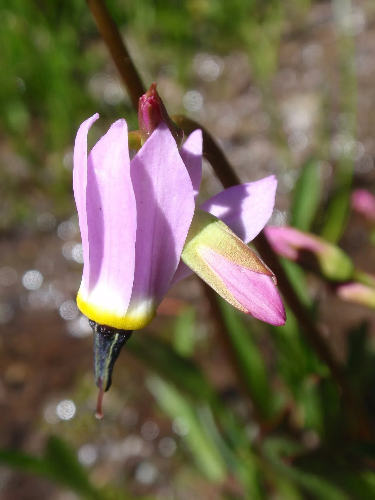
How we know this (1) Methods & honest limits
Climate niche (heat tolerance & native rainfall) Derived

We take the plant’s U.S. county range and look up each county’s long-term climate, then summarise: native rainfall = the median annual rainfall across its counties; heat tolerance = the warm end (90th percentile) of average temperature across its range (mirroring how our cold-hardiness floor uses an extreme). Counties + medians blunt the roadside/observer bias that makes point-level climate unreliable. Needs at least five placeable counties.

Honest limits: A realized, sampling-biased niche (where it has been recorded, not its physiological optimum), and county climate is coarse — large Western counties span deserts and mountains. Derived guide, never a measured fact.

Realized-niche / climate-envelope approach (Pearson & Dawson 2003; Soberón 2007). Climate: NOAA NCEI nClimDiv county normals (1991–2020).
Derived values are computed from open data by a published method — labelled, cited, and never shown as a direct observation. Full methodology →
Sources for this entry (13) Open & cited
[01] Scientific name & family — USDA PLANTS (DwCA, Zenodo 17903503)
[02] Growth habit & duration — USDA PLANTS (DwCA, Zenodo 17903503)
[03] Native status & distribution — USDA PLANTS (DwCA, Zenodo 17903503)
[04] Common name — USDA PLANTS (via GBIF)
[05] Invasive / introduced status — USDA PLANTS (DwCA, Zenodo 17903503) — native status
[06] Wetland indicator — USACE National Wetland Plant List (2022)
[08] Description — Wikipedia (CC BY-SA)
[09] Ecological value — GloBI
[10] Climate niche — Derived — realized climate niche from U.S. county occurrences (GBIF) × NOAA NCEI county climate normals 1991–2020 (public domain)
[11] Caterpillar species — NHM HOSTS (CC0)
[12] County range — GBIF Open Data — open-licensed occurrences (CC0/CC-BY) → county
Spot an error or have a better photo? Every field links to its source, and the whole dataset is open.
Cite this page Open data, please attribute

PlantKey’s data is open under CC BY-SA 4.0 — free to reuse and adapt, with attribution and the same licence. Photos keep their own per-image licence + credit (see Sources above).

Citation

Loading…

BibTeX
Loading…