
Tahitian Gardenia Gardenia taitensis
Tahitian Gardenia is an introduced perennial tree, found in Hawaii.
More about this plant
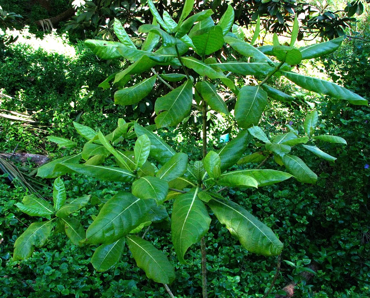
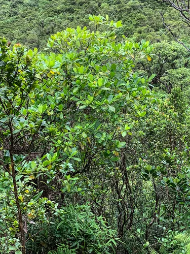
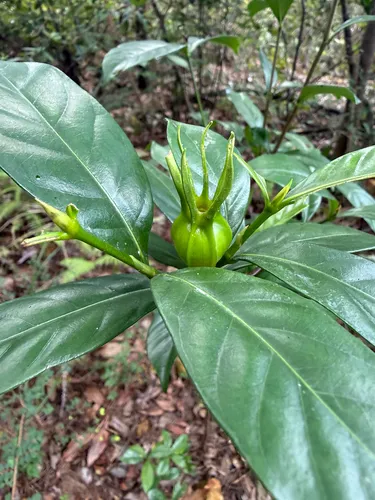
Gardenia taitensis, also called Tahitian gardenia or tiaré flower, is a species of plant in the family Rubiaceae. It is an evergreen tropical shrub that grows to 4 m (10 ft) tall and has glossy dark green leaves that are 5–16 cm (2–6 in) long and are oppositely arranged along the stem. The flower is creamy white and pinwheel-shaped with 5–9 lobes, each 2–4 cm (0.8–2 in) long and fragrant. Native to the highland shores of the South Pacific, it has the distinction of being one of the few cultivated plants native to Polynesia. It is the national flower of French Polynesia and the Cook Islands. Wikipedia →
Growing & care
USDA PLANTS · TRY- Lifespan
- Perennial
Wildlife & pollinators
How pollinator value is scored →❧ Caterpillar hosts Documented caterpillar host
Recorded feeding on Gardenia in North America, including:
")
")
")
Related plants
More Gardenia →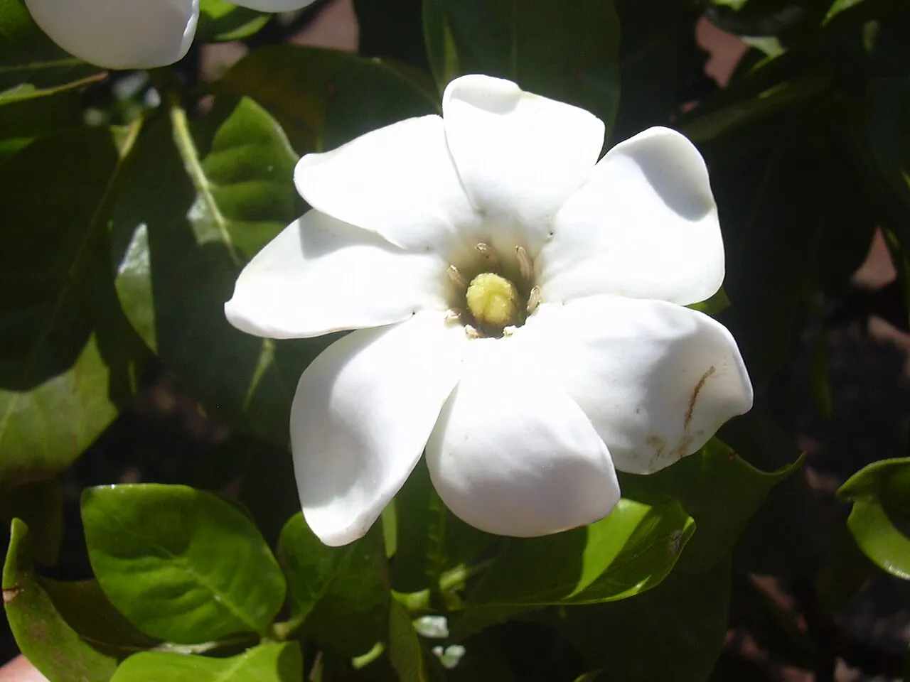
How we know this (1) Methods & honest limits
We take the plant’s U.S. county range and look up each county’s long-term climate, then summarise: native rainfall = the median annual rainfall across its counties; heat tolerance = the warm end (90th percentile) of average temperature across its range (mirroring how our cold-hardiness floor uses an extreme). Counties + medians blunt the roadside/observer bias that makes point-level climate unreliable. Needs at least five placeable counties.
Honest limits: A realized, sampling-biased niche (where it has been recorded, not its physiological optimum), and county climate is coarse — large Western counties span deserts and mountains. Derived guide, never a measured fact.
Sources for this entry (13) Open & cited
Cite this page Open data, please attribute
PlantKey’s data is open under CC BY-SA 4.0 — free to reuse and adapt, with attribution and the same licence. Photos keep their own per-image licence + credit (see Sources above).
Loading…
BibTeX
Loading…