
Delta Maidenhair Adiantum raddianum
Delta Maidenhair is an introduced perennial fern, found in Hawaii.
More about this plant
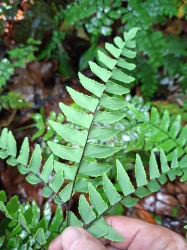
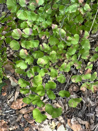
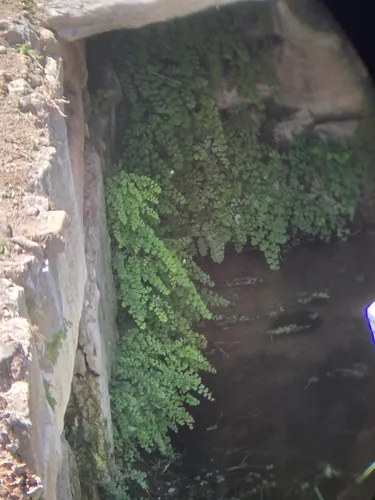
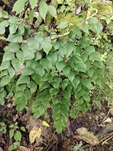
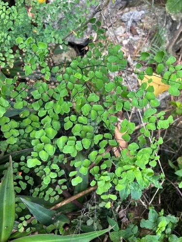
Adiantum raddianum, the Delta maidenhair fern, is one of the most popular ferns to grow indoors. It is native to South America and its common name comes from its shiny, dark leafstalks that resemble human hair. It typically grows about 17–19 in (43–48 cm) tall and up to 22 in (56 cm) wide. In the wild, it is found on forest floors, rock crevices, river banks, coastal cliffs, and basalt banks along trails and streams. The triangular fronds are semi-erect in the beginning then droop gracefully as they age and can be up to 12 inches (30 cm) long by 6 inches (15 cm) wide. The genus name Adiantum comes from the Greek word "adiantos", meaning "unwetted". Wikipedia →
Delta Maidenhair is flagged invasive in the U.S. These natives fill a similar niche — same growth habit, bloom season, height, and region — so you keep the look and feed local wildlife instead of spreading a problem.
Growing & care
USDA PLANTS · TRY- Lifespan
- Perennial
- Foliage
- Broadleaf
Wildlife & pollinators
How pollinator value is scored →❧ Caterpillar hosts Documented caterpillar host
Recorded feeding on Adiantum in North America, including:
")
Related plants
More Adiantum →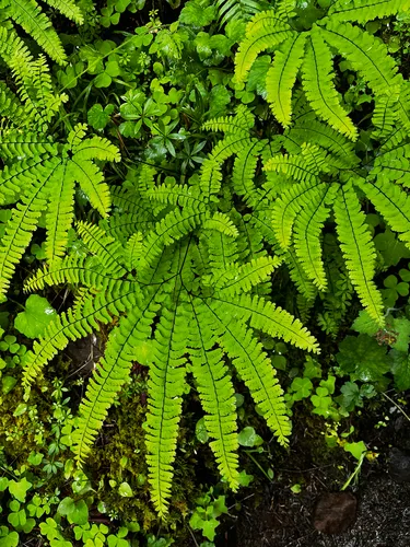
How we know this (1) Methods & honest limits
We take the plant’s U.S. county range and look up each county’s long-term climate, then summarise: native rainfall = the median annual rainfall across its counties; heat tolerance = the warm end (90th percentile) of average temperature across its range (mirroring how our cold-hardiness floor uses an extreme). Counties + medians blunt the roadside/observer bias that makes point-level climate unreliable. Needs at least five placeable counties.
Honest limits: A realized, sampling-biased niche (where it has been recorded, not its physiological optimum), and county climate is coarse — large Western counties span deserts and mountains. Derived guide, never a measured fact.
Sources for this entry (14) Open & cited
Cite this page Open data, please attribute
PlantKey’s data is open under CC BY-SA 4.0 — free to reuse and adapt, with attribution and the same licence. Photos keep their own per-image licence + credit (see Sources above).
Loading…
BibTeX
Loading…