PlantKey Open ecological atlas
Planner
Home / Browse / Blechnum / Palm Fern
iNaturalist — CC, credited & licensed per image
Blechnaceae family

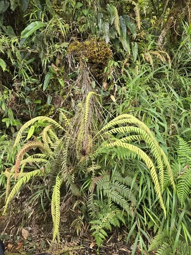
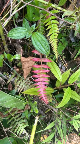
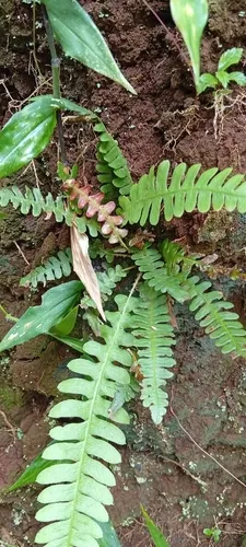
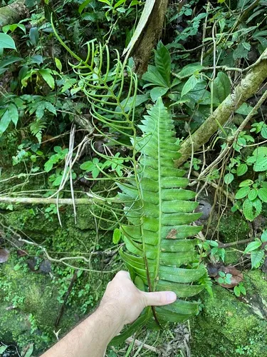
Palm Fern Blechnum appendiculatum

Palm Fern is an introduced perennial fern, found in Hawaii.

More about this plant

Blechnum appendiculatum is a fern in the family Blechnaceae. It is commonly known as hammock fern, sinkhole fern, and New World midsorus fern. Its native range is from the southern United States through Mexico, the Caribbean and Central America to western South America. It grows in rocky hammocks and moist forests. Wikipedia →

⚠ Invasive here — plant a native instead USDA + GBIF

Palm Fern is flagged invasive in the U.S. These natives fill a similar niche — same growth habit, bloom season, height, and region — so you keep the look and feed local wildlife instead of spreading a problem.

Matched on growth habit · bloom months · mature height · shared U.S. range (USDA + GBIF) — a starting point, not a prescription.

Growing & care

USDA PLANTS · TRY
Size & form
Sources · Size & form
USDA PLANTS — Lifespan
Lifespan
Perennial
In the garden
Herb layer — Sits in the herb of a layered food forest or polyculture.Open guide →
derived roles
Species characteristics from USDA PLANTS (public domain) + TRY (CC BY) — general guidance, not a guarantee for your exact site. Deer "browsing" is documented palatability, not a deer-proof claim.

Wildlife & pollinators

How pollinator value is scored →
❧ Caterpillar hosts Documented caterpillar host

Recorded feeding on Blechnum in North America, including:

Named species (a documented Nearctic sample, not exhaustive) from NHM HOSTS (CC0).
Species thumbnails re-hosted from iNaturalist — Creative Commons, credited per image (hover for credit). Click any species to see it on iNaturalist. Not exhaustive; many taxa have no openly-licensed photo yet.
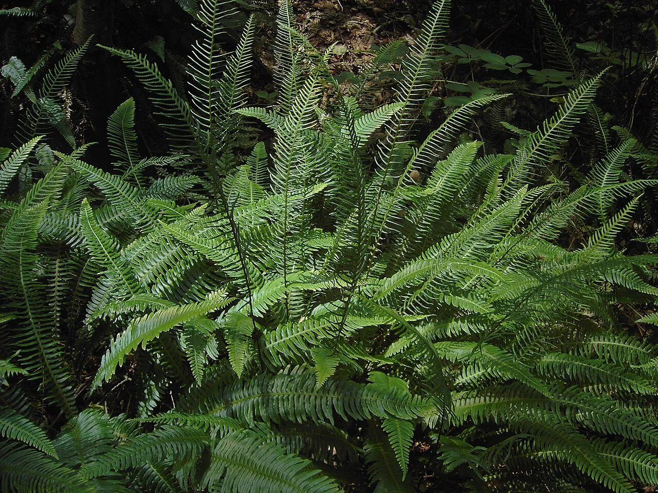
How we know this (1) Methods & honest limits
Climate niche (heat tolerance & native rainfall) Derived

We take the plant’s U.S. county range and look up each county’s long-term climate, then summarise: native rainfall = the median annual rainfall across its counties; heat tolerance = the warm end (90th percentile) of average temperature across its range (mirroring how our cold-hardiness floor uses an extreme). Counties + medians blunt the roadside/observer bias that makes point-level climate unreliable. Needs at least five placeable counties.

Honest limits: A realized, sampling-biased niche (where it has been recorded, not its physiological optimum), and county climate is coarse — large Western counties span deserts and mountains. Derived guide, never a measured fact.

Realized-niche / climate-envelope approach (Pearson & Dawson 2003; Soberón 2007). Climate: NOAA NCEI nClimDiv county normals (1991–2020).
Derived values are computed from open data by a published method — labelled, cited, and never shown as a direct observation. Full methodology →
Sources for this entry (13) Open & cited
[01] Scientific name & family — USDA PLANTS (DwCA, Zenodo 17903503)
[02] Growth habit & duration — USDA PLANTS (DwCA, Zenodo 17903503)
[03] Native status & distribution — USDA PLANTS (DwCA, Zenodo 17903503)
[04] Common name — USDA PLANTS (via GBIF)
[05] Invasive / introduced status — US-RIIS v2.0 (USGS)
[06] Wetland indicator — USACE National Wetland Plant List (2022)
[08] Description — Wikipedia (CC BY-SA)
[09] Ecological value — GloBI
[10] Climate niche — Derived — realized climate niche from U.S. county occurrences (GBIF) × NOAA NCEI county climate normals 1991–2020 (public domain)
[12] Caterpillar species — NHM HOSTS (CC0)
[13] County range — GBIF Open Data — open-licensed occurrences (CC0/CC-BY) → county
Spot an error or have a better photo? Every field links to its source, and the whole dataset is open.
Cite this page Open data, please attribute

PlantKey’s data is open under CC BY-SA 4.0 — free to reuse and adapt, with attribution and the same licence. Photos keep their own per-image licence + credit (see Sources above).

Citation

Loading…

BibTeX
Loading…